
California CRE News In Your Inbox.
Sign up for Connect emails to stay informed with CRE stories that are 150 words or less.
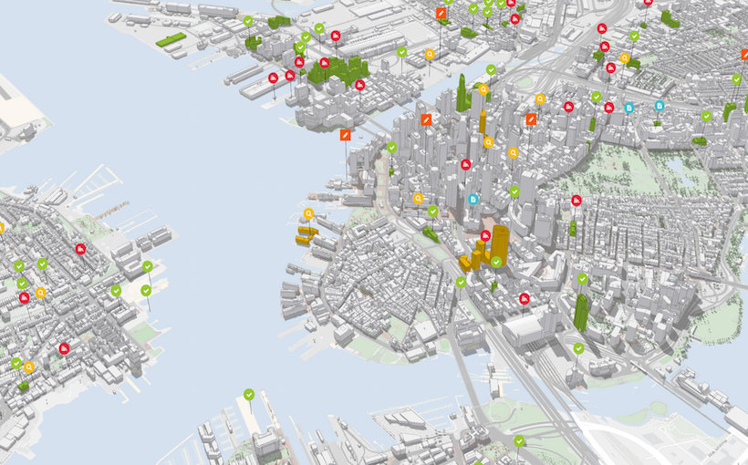

Development Expedited Via New Urban Planning Tool
Redlands, CA-based Esri is developing ArcGIS Urban, a solution to give urban planners and designers engaged in government, real estate, and engineering projects better city information so that they know the best places to build and develop. The system will visualize zoning codes, track project life cycles, and measure the impact of projects after completion.
It will help solve challenges in some fast-growing U.S. cities, stemming from a disconnect between developers’ project designs and the regulatory codes defining what can be built and where. In many cities, zoning code text is outdated, cumbersome, and confusing. The difficulty in interpreting and understanding it slows governments, stalls developers, and delays the ability of cities to meet citizens’ needs.
ArcGIS Urban helps interpret codes and makes them readily available through an interactive online portal, adding efficiency to planning activities. The all-in-one system is expected to be accessible to professionals who plan and build cities, whether for a city planning department or a real estate development company.
For comments, questions or concerns, please contact Dennis Kaiser
- ◦Development